Concept note, Theoretical
What Starlink V3 could mean for watching the ocean
A theoretical look at how faster, more reliable connectivity from orbit could shorten the path from a detection at sea to a decision on land.
This is a concept note. It is theoretical: it describes what MEPA would like to test, not something we have built, bought or been promised. It does not announce an agreement with SpaceX, Starlink or anyone else, and nothing here should be read as one.
On this page7 sections
We are publishing it early because ideas like this improve in the open. If you work in satellite communications, maritime law, field logistics or evidence handling and think we have something wrong, we would like to hear it.
Why connectivity, and why now
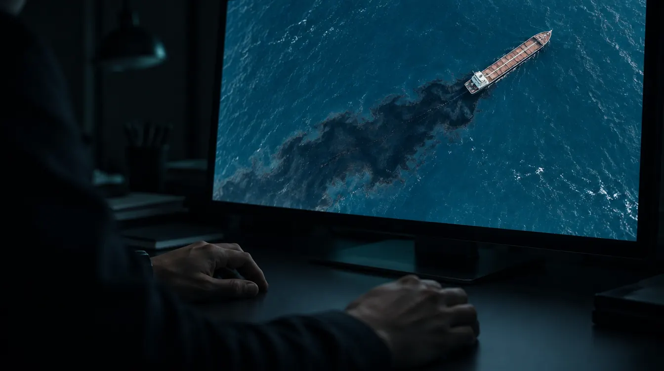
Our work follows a short chain. A satellite sees something on the sea. A model flags it. An analyst checks it. If the case is strong, we package the evidence and send it to the competent authority. Machines flag, people decide — but every link in that chain takes time, and some of the slowest links have nothing to do with analysis. They are about moving data from where it is collected to where someone can act on it.
That matters because a slick does not wait. It spreads, breaks up and drifts, and the vessel that caused it moves on. The sooner someone looks, the better the evidence. So the question this note asks is a simple one: what could change if the path between the sea and the analyst became much shorter?
What Starlink V3 is, as publicly described
SpaceX has described a third generation of Starlink satellites, often called V3. What follows is what has been publicly reported, as we understand it. Specifications and schedules can change, so please check current sources before citing any of it. None of our argument depends on a particular figure.
- Size: a much larger satellite, designed to be launched by Starship
- Capacity: far more than the current generation, with publicly cited targets of the order of a terabit per second of downlink per satellite
- Laser links: data can cross the network in space instead of waiting for a ground station in range
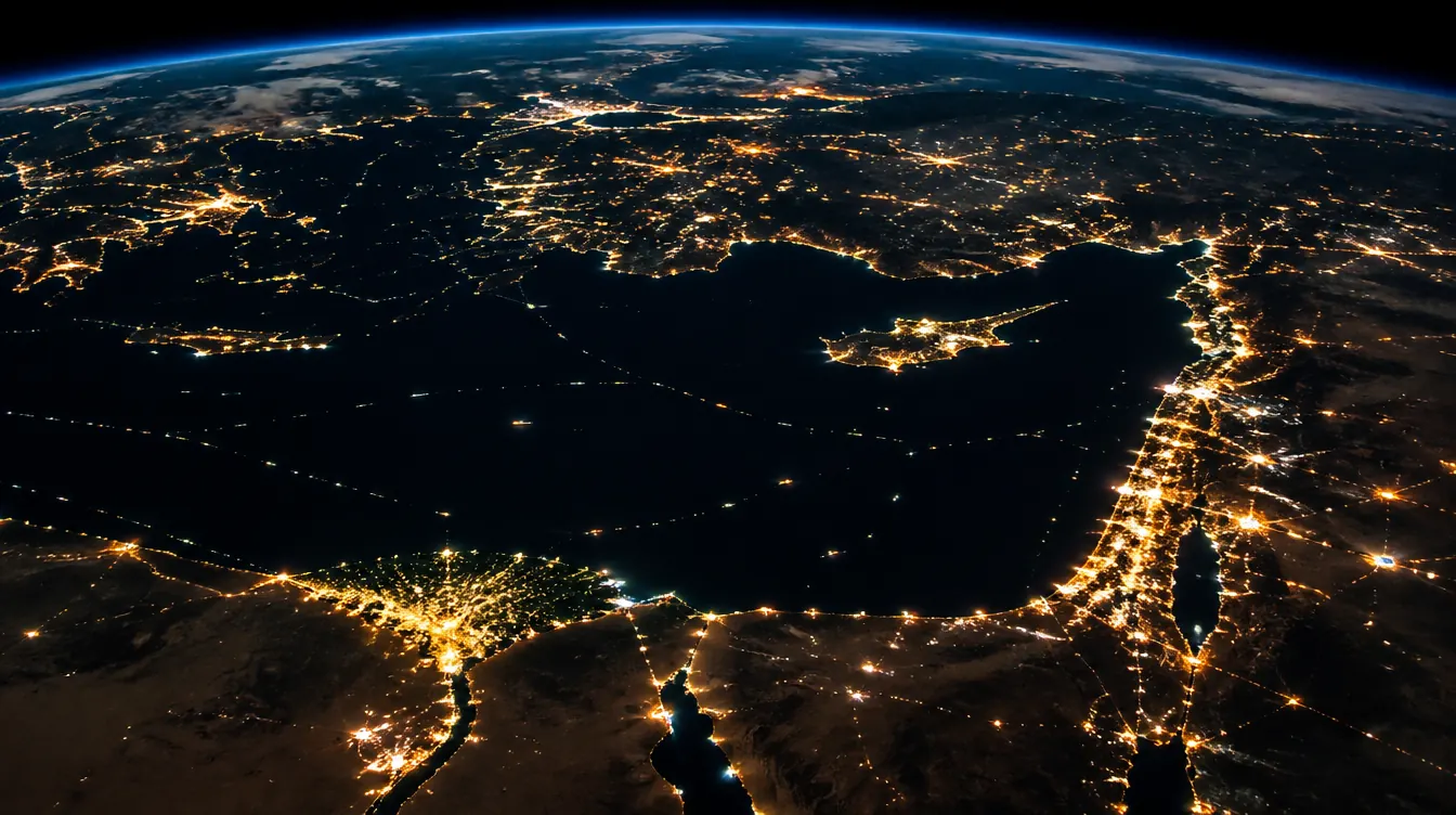
- Coverage: low-latency service aimed at most of the globe, including remote coasts
What it is not
Starlink is a communications constellation, not an imaging one. It does not look at the sea, and it does not replace Sentinel-1 radar, Sentinel-2 optical imagery or the commercial radar and optical satellites that do.
What it could change is how fast their data and our evidence move: from the moment a scene is downlinked to the moment an analyst sees it, and from the analyst’s desk to the people who must act. The eyes stay where they are. The path from eye to decision could get shorter.
Where connectivity could help
Five ideas. Each is a hypothesis we would like to test, not a capability we have today.
Evidence at the source
Field teams and small boats often work where mobile coverage ends. A photograph, a water sample log or a sensor reading is worth the most when it is uploaded at once, with its time and position, and hashed at capture with SHA-256 so anyone can later check that it was not altered. A reliable link from a remote coast would let that happen in the field rather than days later, which is what a clean chain of custody needs.
Tip-and-cue
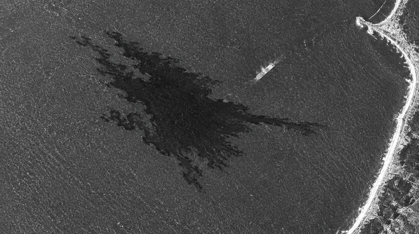
Radar satellites are good at spotting a suspicious dark streak across a wide area. Very-high-resolution optical satellites are good at looking closely, but they have to be pointed. Today the gap between the two can be hours: the scene is downlinked, processed and reviewed, and only then is a closer look requested.
If scene downlink and tasking latency fell from hours to minutes, a radar detection could cue a very-high-resolution look while the slick is still fresh. It is the idea in this note with the most to gain, and the one that depends most on partners we do not control.
- Radar flags a dark streak
- The scene reaches an analyst
- A closer look is tasked
- A close-up is captured
Faster, steadier reporting
When a case is strong, the evidence package goes to the competent authority and, where relevant, to responders. In places with poor links, large files such as imagery and logs can be slow to send or fail halfway. A dependable path would help us deliver the package, and confirm that it arrived, sooner.
Triage at the edge
Not every frame deserves an analyst’s time. With more bandwidth, and a little computing close to where data lands, a lighter version of our machine-learning triage could screen out look-alikes such as low wind, algal films and rain cells, and forward only the strong cases. Analysts would still confirm every finding. The machine’s job would be to protect their attention, not to replace their judgment.
Resilience for a small organization
We are a small team. If a storm, a fault or a power cut takes down terrestrial links, a second path that does not rely on the same cables and towers would keep an investigation moving. It is the most modest benefit on this list, and for us a real one.
The partnership model we are pursuing
We are exploring a layered arrangement in which each party does what it does best:
- MEPA: analyzes, verifies and reports, with a human analyst on every strong case
- PolarVector: our investigations partner, adding vessel, ownership and sanctions intelligence and lawful verification on the ground
- Imaging providers: radar and optical scenes, including the faster tasking that tip-and-cue would need
- Connectivity provider: a low-earth-orbit network could shorten the path between the sea and the analyst
To be plain about status: these conversations are exploratory. Nothing is signed, no terms have been agreed, and no provider has committed to anything. This note describes the shape of a partnership we would like to be able to test, not one that exists.
Risks and open questions
A concept is only as honest as its list of reasons it might not work. Ours:
- Single-vendor dependence: one network on a critical path is a risk in itself, so we would keep a fallback
- Terms of service and jurisdiction: what a provider’s terms allow, and which country’s law applies to data that crosses its network
- Data protection and encryption: evidence and witness details must stay encrypted, and we must know exactly who can see what
- Cost: terminals and plans may be out of reach for an NGO without support or a charitable arrangement
- Regulatory approval: field terminals may need licenses or approvals in each country where our teams work
- Evidence admissibility: courts and authorities decide what they accept, and a faster path does not change that on its own
- Cooperation: tip-and-cue only works if imaging partners are willing and able to task and deliver quickly
What we would test first
None of those risks is a reason to stop. Each is a reason to run a small, honest test before we say anything bigger. A 90-day pilot, small enough to learn from and to stop if it does not help:
- Field upload with hashing: photos and sensor logs sent from a remote coast, each hashed with SHA-256 at capture and verified at the other end
- Scene-to-analyst latency: measure how long a satellite scene takes to reach an analyst today, and with a faster link
- One tip-and-cue drill: on a confirmed slick, a radar detection triggers a closer look, and we record every delay along the way
- Report-to-authority round trip: send a mock evidence package to a willing authority and time both the delivery and the acknowledgement
We would publish the results, including if the answer is that it did not help. If you can help us test any of this, or tell us where we are wrong, please get in touch.